
Electronic Distance Measurement (EDM) & Total Stations in Mine Surveying
Electronic Distance Measurement (EDM) is a fundamental technique in modern surveying that uses electromagnetic waves — typically infrared or laser beams — to measure precise distances between points. In mine surveying, especially underground mining, EDM is indispensable for accurate mapping, safety monitoring, tunnel alignment, and efficient mine planning in challenging, low-visibility environments.

EDM Equipment in Surveying Application
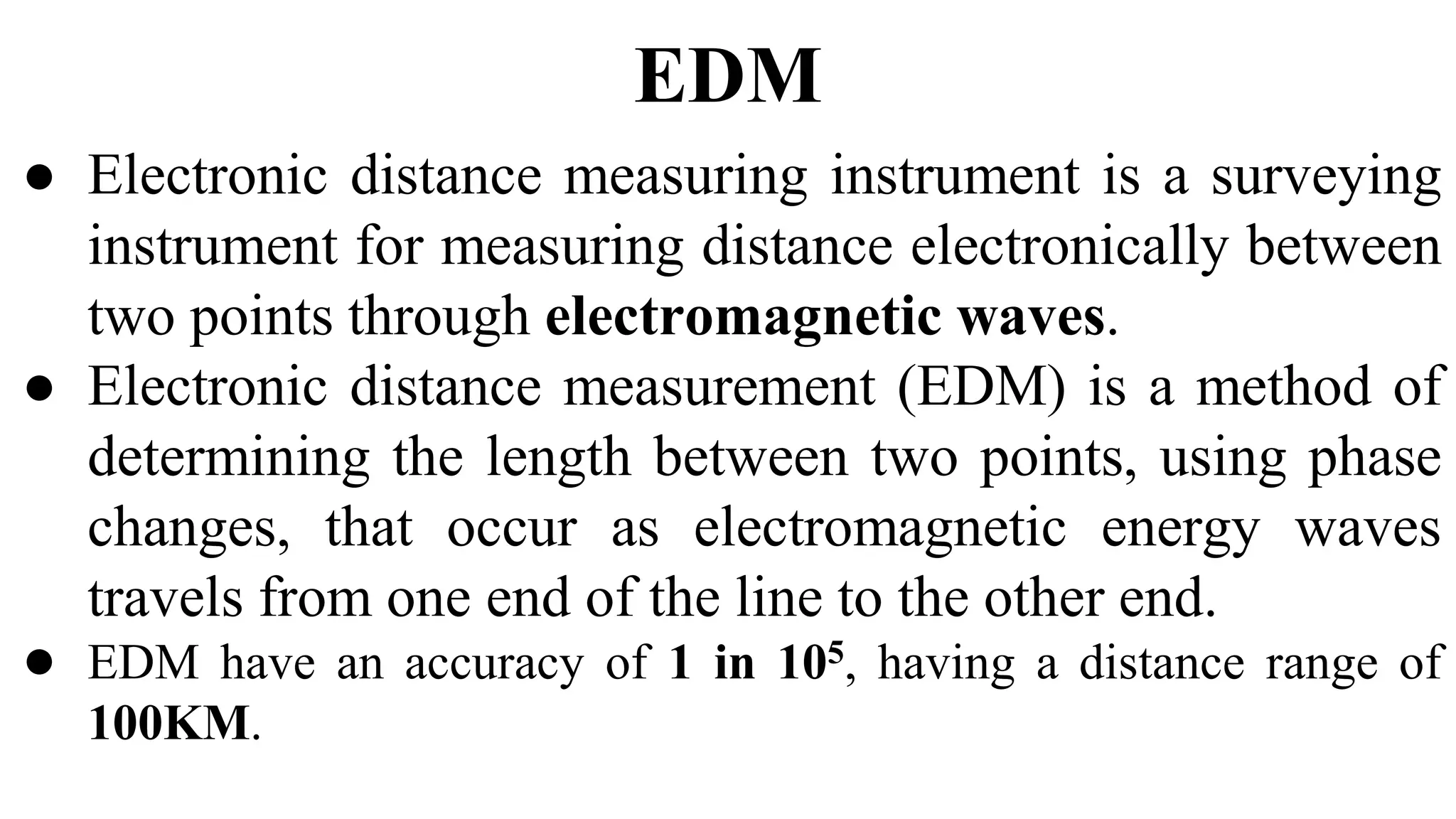
Illustration of EDM principle using electromagnetic waves for distance measurement
Key Applications of EDM in Mine Surveying
- Distance Measurement
EDM instruments provide millimeter-level accuracy over long distances using reflected electromagnetic signals, essential in vast underground networks where manual methods are impossible. - Mapping and Layout
Surveyors measure distances to tunnels, shafts, chambers, pillars, and stopes to create detailed 2D/3D maps for planning, development, and daily operations. - Monitoring and Control
Periodic measurements detect ground movement, wall convergence, or pillar deformation — critical for assessing stability and preventing collapses. - Alignment and Tunneling
Ensures tunnels are driven in the correct direction with proper gradients, avoiding deviations, overbreaks, or collisions during expansion. - Data Processing
Collected data feeds into software for volume calculations, 3D modeling, as-built comparisons, and mine management decisions.
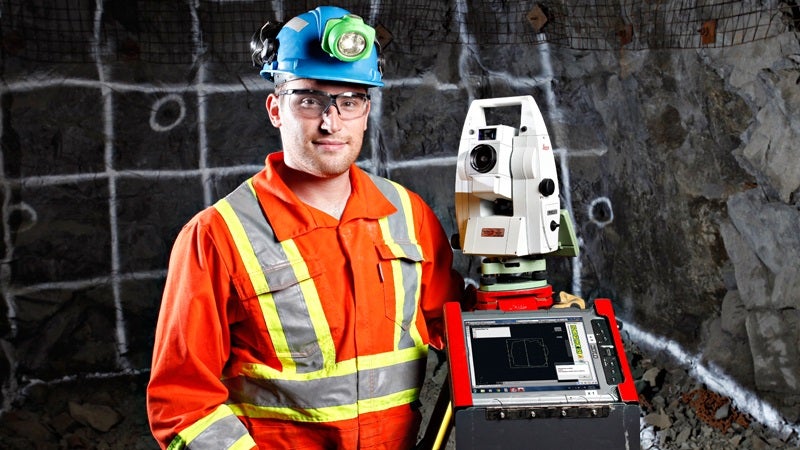
Surveyor with total station (EDM-integrated) in underground mine setting
Total Stations: The Core Instrument Integrating EDM
The most widely used EDM tool in mine surveying today is the total station — an all-in-one electronic/optical instrument that combines:
- Electronic Distance Meter (EDM) for slope distance measurement
- Electronic theodolite for precise horizontal and vertical angles
- Onboard microprocessor for real-time calculations and data storage
)
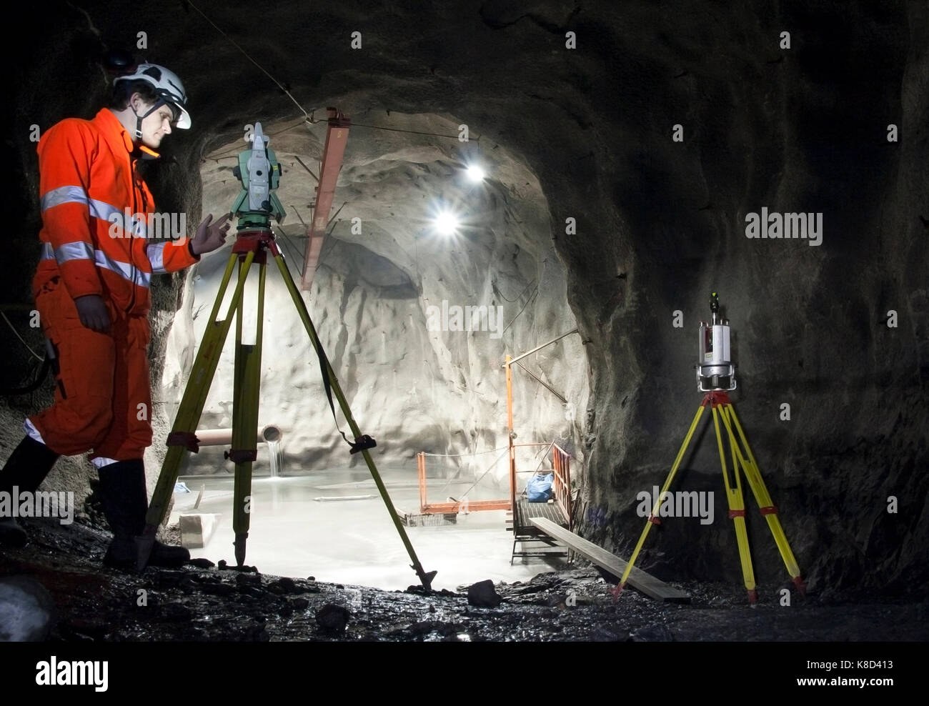
Leica total station deployed in a dark underground mine tunnel

Trimble SX12 robotic scanning total station in mining tunnel application
Surveyor operating total station during underground mine work
How a Total Station Works
- Set up and level over a known point using tripod, tribrach, optical plummet, and bubble level.
- Sight the target (prism on pole or natural surface in reflectorless mode).
- EDM emits laser/infrared beam; reflection returns for distance calculation (phase-shift or time-of-flight method).
- Electronic sensors read horizontal & vertical angles simultaneously.
- Onboard software computes horizontal distance, height difference, and 3D coordinates (Easting, Northing, Elevation).
- Data stored internally or transferred via Bluetooth/USB to CAD/GIS software.
Modern total stations offer reflectorless measurement (direct to rock/walls), robotic auto-tracking (one-person operation), imaging, and rugged designs for dust, humidity, and vibration in mines.
Advantages & Disadvantages of Total Stations in Mining
| Advantages | Disadvantages |
|---|---|
| High accuracy (mm-level over short/medium ranges) | Requires line-of-sight (challenging in curved/obstructed tunnels) |
| Fast digital measurements with onboard calculations | Limited range (1–5 km with prism; shorter reflectorless) |
| Reduces human error; stores data for easy transfer | Expensive instrument + training required |
| Versatile: mapping, monitoring, alignment, volume calc | Sensitive to extreme dust/humidity (though mining models are rugged) |
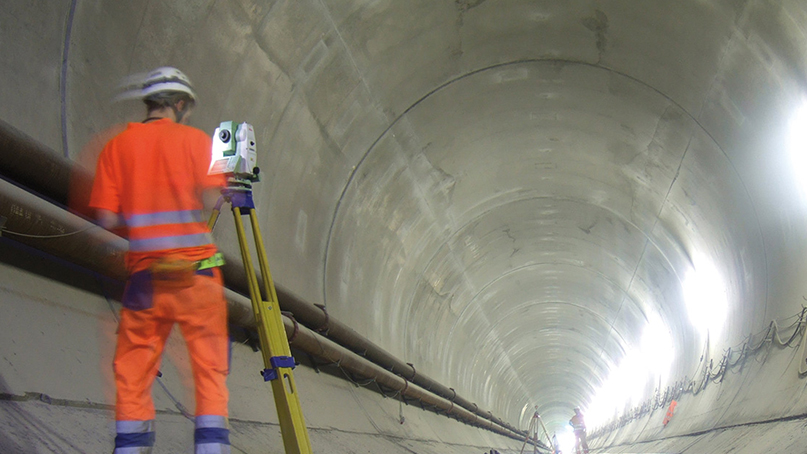
Surveyor using automated Leica total station in tunnel environment
Evolving Technologies Complementing EDM & Total Stations
While total stations remain essential, advancements like 3D laser scanning (LiDAR), UAV/drone surveys, and GNSS are increasingly used in mining for faster, denser point clouds and safer data collection in hazardous areas.

3D laser scanning point cloud visualization in underground mine tunnel
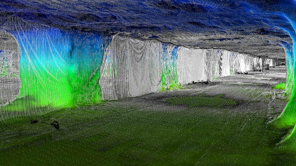
Colored 3D point cloud from underground laser scanning (complement to EDM/total stations)
Accurate EDM-based surveying with total stations helps mining operations optimize extraction, enhance safety, reduce risks, and improve productivity in demanding underground conditions.
Questions about EDM, total stations, or mine surveying?
Leave a comment below!


0 Comments